
Kearny ZIP Coverage at a Glance
Kearny’s postal picture is deliberately small and qualified. The verified standard postal ZIP is 07032. A second number, 07031, matters because Kearny Main serves it as well as 07032, yet the standard municipality attached to 07031 is North Arlington. A third number, 07099, is retained only as a facility-style or unique-ZIP lead because its current footprint was not verified in an official city-result capture.
| ZIP | Postal area in this research | Post-office context | How to read it |
|---|---|---|---|
| 07032 | Standard Kearny postal coverage | Kearny Main service area | Verify a complete delivery address before using it with a record. |
| 07031 | Standard North Arlington postal coverage | Kearny Main also serves this ZIP | Service by Kearny Main does not turn it into a Kearny municipal ZIP. |
| 07099 | Unique or facility-style lead | Exact present footprint not located | Do not assign it to a parcel or person without an address-specific USPS result. |
This coverage table is not a list of people or a map of town limits. It is a starting point for delivery verification. No official source located for this project supplied a Kearny ZIP split date, realignment year, population table, or confirmed 07099 delivery footprint.
Search a Kearny ZIP Code
USPS supplies three different lookup paths, each for a different task. By Address checks one street address and, when needed, a unit. By City and State returns postal ZIPs associated with the city-and-state input. Cities by ZIP Code starts with a ZIP and shows the postal city labels tied to it. None of those results establishes municipal jurisdiction or confirms a person at the address.
- Begin with the complete street address, including a unit when one is part of delivery.
- Use USPS By Address to confirm the current delivery label and ZIP or ZIP+4 result.
- Use By City and State only when checking the postal ZIPs attached to a city label, not to identify a parcel.
- Compare the verified address with the municipality and block/lot before using a county or Town record.
Once the address is narrowed, the Kearny by-street directory explains the separate street-level record trail. That workflow uses the address and parcel context, not a ZIP-wide roster, because the inspected local property systems do not document a public ZIP filter.
Kearny ZIPs and City Lines
Postal geography and town geography solve different problems. A postal city is part of a delivery system, while Kearny municipal records are organized by the Town, Hudson County, and the legal parcel. The 07031 example is the local reminder: Kearny Main’s service role covers both 07031 and 07032, but 07031 is still the standard North Arlington ZIP. A Kearny Main reference is therefore not municipal-boundary evidence.
- ZIP
- A postal routing label assigned to a delivery area. It is not a property boundary or a town boundary.
- ZIP+4
- An added four digits that refine a current delivery point or address segment. It is useful for mail normalization, not identity proof.
- Unique ZIP
- A ZIP associated with a particular organization or facility. The 07099 lead needs current USPS confirmation before it is described more specifically.
- Carrier route
- A mail-delivery route within postal operations. It can aid addressing work but does not identify a municipal parcel.
For a disputed or historic address, retain the postal city, the municipal place, the county, and the source date as separate fields. A directory grouping, a mailing label, and a current parcel can each use a different place name without being a contradiction.
Kearny 07032 Delivery Area
07032 is the standard Kearny postal ZIP identified by the research. That is the strongest general label for a current Kearny mailing address, but it still has to be checked against the full delivery address. USPS cautions that a ZIP lookup result does not confirm that a person or company is at the returned address.
A delivery result can be current while a deed, assessment card, or historic directory answers a question from another date. Record the source date and the role shown by each record, such as owner, recorded party, organization contact, or historic directory entry. Those roles should not be merged into a claim about current occupancy.
Kearny Main and 07031
The USPS Office of Inspector General review cited in the research says Kearny Main serves 07031 and 07032. That operational fact is valuable when a postal question references Kearny Main. It does not expand Kearny’s municipal footprint, and it does not make 07031 a standard Kearny ZIP.
When an address produces 07031, run a complete USPS address check and then consult the municipal and county fields used by the relevant record custodian. This two-part check avoids treating a post-office service area as a statement about jurisdiction. It also prevents a nearby-city label from being used as a shortcut for a legal parcel location.
Kearny 07099 ZIP Lead
07099 appears in the research only as a possible unique or facility-style postal lead. Its exact current footprint was not returned by the official result capture, so it should not be presented as a general Kearny delivery area, a PO-box range, or a location tied to any particular address. The correct next step is an address-specific USPS check.
This restraint matters because a postal number without a verified delivery result can send an inquiry to the wrong town, office, or parcel. Keeping an uncertain result labeled as a lead is more useful than filling the gap with a guess.
Kearny Postal Search Fields
The documented field sets show why a ZIP search must remain postal in scope. The USPS options accept address or city-and-state inputs depending on the tab. In contrast, the state parcel tool accepts address, county, municipality, block, and lot. Hudson County’s Acclaim route does not document a ZIP field in the visible search set, and the Kearny Assessor page did not expose a public search form.
| Official route | Documented input | Result to rely on |
|---|---|---|
| USPS By Address | Street address, city/state, optional ZIP | Current delivery match and ZIP or ZIP+4. |
| USPS By City and State | City and state | Postal ZIPs associated with that label. |
| USPS Cities by ZIP | ZIP | Postal city labels associated with that ZIP. |
| NJGIS Property Explorer | Address, county, municipality, block, or lot | Parcel and municipal context, not a ZIP roster. |
See the USPS AIS Viewer for the current address-quality context behind ZIP and ZIP+4 work.
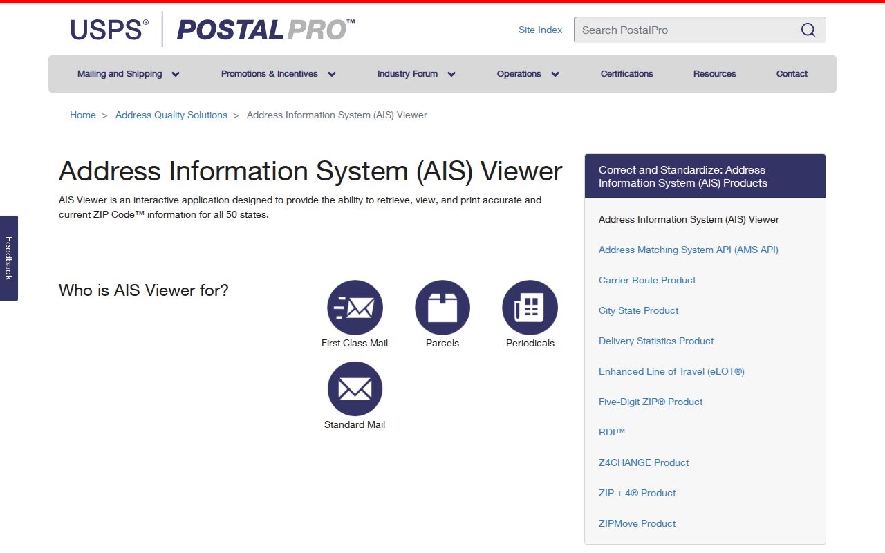
The USPS material supports delivery normalization. It should be paired with the address itself and a dated municipal or county record when the question concerns a parcel or recorded instrument.
Kearny Parcels Beyond ZIPs
New Jersey GIS Property Explorer is the better route when the question is about a physical parcel rather than mail delivery. It accepts an address, county, municipality, block, or lot. New Jersey parcel metadata describes a PAMS_PIN built from county, municipality, block, lot, and qualification components. That key can help keep a map result aligned with an assessment or Register inquiry even if a postal label changes.
The public map may show a polygon while a name field is absent. That absence can reflect a protected-address redaction, so it should not be treated as a missing record or an invitation to infer the hidden value.
Use the New Jersey GIS Property Explorer to move from a verified address to parcel context.
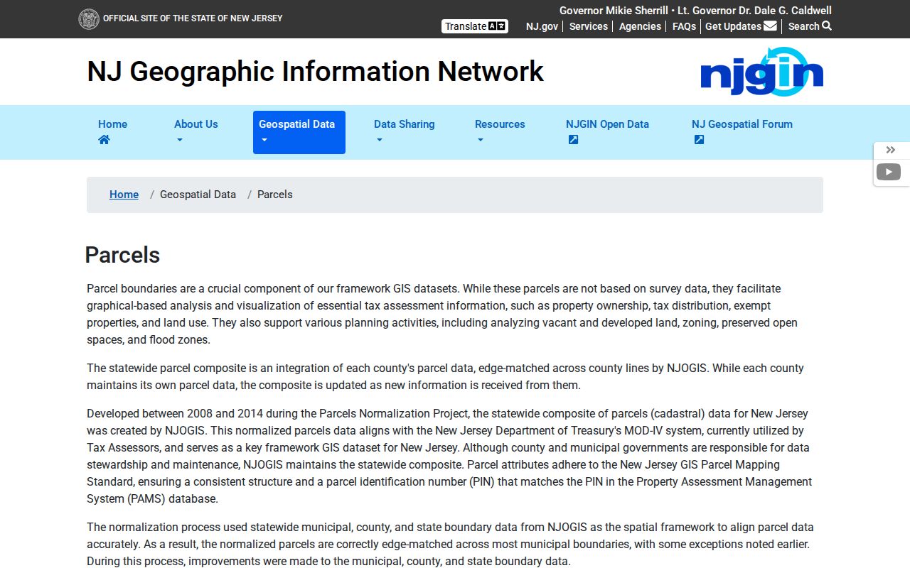
The map’s address, municipality, block, and lot fields show the divide clearly: parcel research depends on municipal keys, not a postal-only field.
Historic Kearny ZIP Labels
Historic Kearny directories are not a current postal index. The library’s digitized runs group Kearny with Harrison, Arlington, East Newark, and North Arlington in different years, and the Street Guide can connect an old number with an entry in that publication. Preserve the printed place label and publication date instead of attaching a modern ZIP to a past address.
That distinction is especially useful when an old entry has a number that no longer matches a current address. Compare the street guide, deed legal description, Sanborn map sheet, and current parcel before deciding that two address forms represent the same location.
Historic place names need the same care. Kearny was created as a township from Harrison in 1867 and became a town in 1899, while directory volumes may group several nearby places on one title page. A past record can be accurate for its own date and still use a label that differs from a current mailing label. Keep the source’s spelling, place, number, and year beside the current address rather than rewriting the older entry to fit a present postal result.
Verify a Kearny ZIP Result
A careful Kearny ZIP code directory search ends with two checks. First, confirm the current delivery address through USPS. Second, confirm the municipal and parcel identity through the custodian that holds the relevant record. If the two labels differ, keep both and describe what each source actually says rather than choosing one as universally correct.
For a negative result, record the exact address entered, the date, the lookup mode, and any unit or city label used. A result that does not appear may reflect a formatting issue, a newer address, a postal-city mismatch, or an address that requires a more complete delivery entry. It does not establish that a parcel, record, or person is absent. A dated search note makes the next check repeatable without turning an uncertain postal result into a conclusion.
Privacy note. A postal match is not proof that an individual is at an address. Protected addresses may be suppressed, and a missing or redacted field should not be reconstructed from other sources.