
Kearny Neighbor Sources by Block
Kearny neighbors research works best when each source remains in its own lane. A map can establish adjacent parcel geometry, while the Assessor and Register may answer different questions about a tax record or a recorded instrument. Election resources are not a block-browsing device, and the Town’s organizations page supplies institutional contact context rather than a roster of participants.
| Source | What it can show around a block | Access boundary |
|---|---|---|
| NJGIS and Hudson GIS | Parcel geometry, block/lot, municipality, and map layers | Public map/data; some owner fields may be redacted. |
| Kearny Tax Assessor | Tax maps, property cards, assessment changes, and ownership updates | Office or request route; no public owner-search form was located. |
| Hudson County Register | Recorded parties, legal description, and instrument chain | Acclaim index plus office and hard-copy/index fallback. |
| New Jersey election resources | Individual registration-status route and district context | Not a street or block roster; protected fields remain restricted. |
| Kearny organizations page | Public institutional contacts and meeting-place context | No official HOA or member directory was located. |
An owner shown in a dated tax or recording record is not automatically a current occupant. A recorded party, a mailing address, and a mapped parcel are different record roles. Treat them as clues to be checked, not as a profile of everyone connected to the block.
Map a Kearny Block Carefully
The documented adjacent-parcel method is map browse. New Jersey GIS Property Explorer accepts an address, county, municipality, block, or lot. From a known address, the goal is to identify the target parcel and then observe the polygons immediately around it. The available research did not document a public select, buffer, or measure control for the exact Hudson County application, so this process should not claim a feature that has not been captured.
- Locate the target with its complete address or its known Hudson County block and lot.
- Record the parcel’s municipality, block, lot, map layer, and access date before moving outward.
- Zoom to the street segment and click adjacent polygons, recording each displayed block/lot and municipality.
- When a map edge or county edge is involved, compare the state parcel resource because parcel edges are not guaranteed to match across counties.
- Use the Assessor or Register only for the defined tax-card or instrument question that follows from the parcel key.
For a full named-street sequence rather than the immediate block, use the Kearny by-street directory. The two approaches overlap at the parcel but serve different scopes.
Kearny Parcel Keys and Edges
A New Jersey parcel identifier brings together county, municipality, block, lot, and qualification components. The state metadata calls the assembled identifier a PAMS_PIN. It is more durable for parcel work than a postal label, because it can connect a map result with an assessment inquiry or a Register record even where street labels change or the delivery city differs.
Parcel geometry still has limits. A visible polygon does not tell who occupies an address, and a missing name can be an intentional Daniel’s Law redaction. Do not use an absent name as evidence that the parcel has no record, and do not combine nearby records to reconstruct a protected field.
Start with the New Jersey GIS parcel resources when the task is to understand the parcels touching one block.
For the county-office routing shown here, consult the Hudson County Clerk.
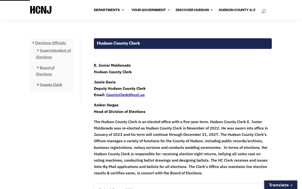
The Clerk page is useful for county office routing, while the Register’s Acclaim service is the land-index route. Confirm the custodian before asking for a record connected to a parcel.
Kearny Community Contact Context
The Town’s organizations page adds a public institutional layer for Kearny neighbors. It identifies Arlington clubs, the Kearny Museum Committee, Friends of the Library, cultural associations, veterans posts, service clubs, senior and youth groups, the YMCA, and the West Hudson/South Bergen Chamber. These entries can help a reader locate a public meeting place or organization contact related to a block’s community life.
| Public organization context | Supported use | What was not located |
|---|---|---|
| Arlington clubs and cultural groups | Public contact or meeting-place context | Member names or a household list. |
| Kearny Museum Committee and Friends of the Library | Institutional and local-history contact context | A directory of private participants. |
| Veterans, service, senior, youth, and YMCA groups | Public group information where supplied by the Town | Membership status for a particular person. |
| West Hudson/South Bergen Chamber | Regional organization contact context | A verified universal member roster. |
No official neighborhood-association or HOA directory was found for Kearny. That absence matters: community contacts can provide public context, but they should never be stretched into a private block directory.
Kearny Voter Records Are Not Block Lists
New Jersey’s public status route is for an individual registration question, not a way to browse every address around a block. Broader voter lists have statutory limits and may include lawful fields such as name, address, party affiliation, ward or district, and voting history, subject to redactions and use restrictions. Registration forms, signatures, Social Security numbers, license numbers, and protected addresses are outside that purpose.
Kearny’s four wards and its sample-ballot links can help with civic district context. A ballot identifies an election, offices, measures, and ward or district information. It does not identify the voters on a street, and a person’s ballot choices are never public.
Review the New Jersey voter-registration guidance before using the status route or approaching the correct county election custodian.
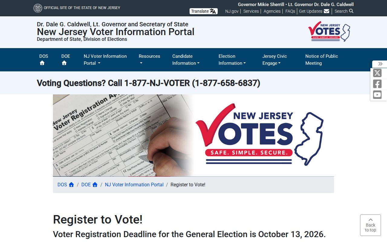
The state guidance separates registration rules from proof of another person’s identity or current location. That distinction keeps civic information from becoming a block-level directory.
Kearny Neighborhood Labels as Context
Arlington, South Kearny, and the Uplands appear in Kearny planning and local context, along with Meadowlands, Route 7, and other planning references. They can help explain why a map, historic source, or civic institution uses a particular local label. The research does not establish those terms as one verified, universal set of neighborhood boundaries for resident research.
Use the official municipality, parcel, and source date for a record claim. Keep a planning label as context only. This avoids drawing a boundary around a block merely because a later plan or local description used a familiar area name.
Kearny Neighbors: Official and Commercial Sources
Official sources and commercial neighbor-lookup categories serve different purposes. An official parcel map or recorded-instrument index can be traced to a custodian, date, and defined record type. Commercial services may compile address associations from sources with uncertain provenance, update timing, and matching choices. They cannot supply a reliable substitute for a redacted parcel field, a withheld voter address, or a private household connection.
| Source category | Strength | Limit to keep in view |
|---|---|---|
| Official parcel, assessment, or recording record | Custodian, date, and record role can be identified. | May be redacted, historical, or limited to a particular function. |
| Official civic and organization page | Public institution and meeting-place context. | Does not establish private participation or current address ties. |
| Commercial neighbor-lookup category | May surface a lead for separate verification. | Association, age, and source quality can be unclear or stale. |
For Kearny neighbors, use the commercial category, if at all, only as a prompt to check an original source. Do not treat a compiled association as proof, and do not use it to bridge a field a public custodian has lawfully withheld.
Kearny OPRA Requests for Records
When the public map or online index does not answer a narrowly defined records question, OPRA can be a route to the correct custodian. It is not a way to override exemptions or ask a public office to build a private block list. A request should identify the existing record sought, such as a dated tax card, map, or record series, and should name the office likely to hold it.
New Jersey’s current OPRA rules generally require a written request to the appropriate custodian and set a seven-business-day response period, subject to statutory exceptions and review. The Hudson County form includes delivery choices and a description field, but it does not change the limits on protected or restricted information.
Read the New Jersey Open Public Records Act before submitting a request.
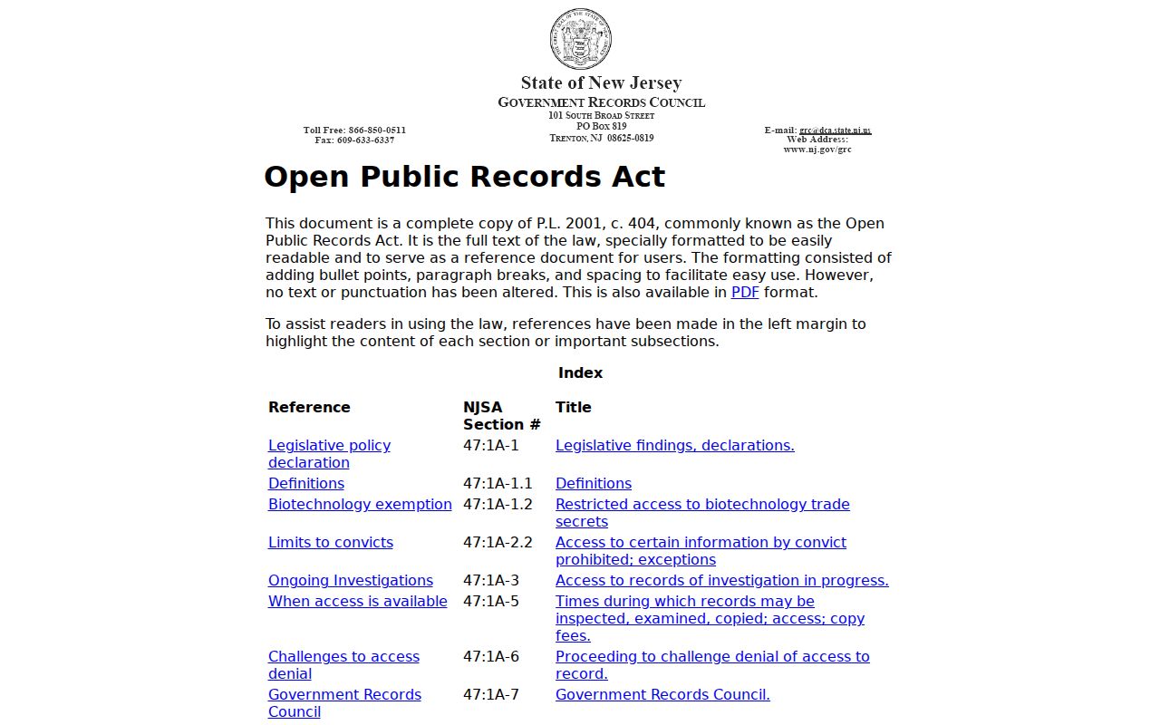
A precise request helps the custodian route a known record. It does not convert confidential address information into public material.
Kearny Neighbor Privacy Limits
Some missing information is supposed to remain missing. Household members, utility-account information, delivery data, private club participation, and protected addresses are not a public block list. New Jersey’s Address Confidentiality Program can provide an eligible participant with a substitute address and mail forwarding. It does not erase an address already public, and it must never be used to reverse-engineer a protected location.
Daniel’s Law can require redaction of covered home addresses in parcel, tax-list, voter, and other government data. The NJGIS parcel resource specifically notes that owner names can be redacted in hosted datasets and map services. A discrepancy between a visible parcel and an absent name may therefore be a lawful safety boundary.
See the New Jersey Address Confidentiality Program for official program information.
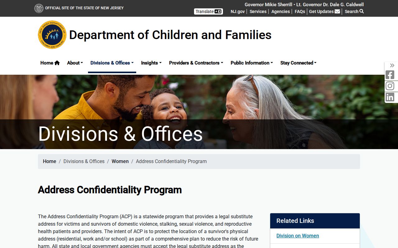
The program information explains why a substitute address or redaction should be respected rather than treated as a research gap to solve.
Lawful use. Use Kearny neighbors research for personal, civic, or community context. Do not use records to watch, pressure, harass, intimidate, or harm anyone.
Check Kearny Neighbor Results
Before relying on a block result, compare at least two independent anchors that fit the same date and role. A parcel’s block/lot and municipality may align with a recorded legal description. A current delivery address may help normalize an address, but it cannot establish a present household. If records conflict, preserve the conflict and the access date rather than guessing which label is final.
That measured process keeps the block view useful without claiming more than the map, custodian, or public organization source actually provides.